
In this guest post King’s Geography PhD Student Jake Simpson describes some of his geocomputational work analysing data from tropical peat swamp forests to estimate carbon emissions.

In this guest post King’s Geography PhD Student Jake Simpson describes some of his geocomputational work analysing data from tropical peat swamp forests to estimate carbon emissions.
Last December we held a workshop at King’s on the Future of Geocomputation. Now we’re looking forward to participating in another day of Geocomputation discussion, this time at the Royal Geographical Society Annual Meeting 2016 in London on 31st August.
On Monday 21st March 2016, Faith Taylor and I managed to organize a MissingMaps mapathon here at KCL.
What follows is not a mere report of the event (it’s been great fun, just look at the pictures!), but rather an attempt to cover certain aspects of a mapathon which usually might be overlooked, and that I instead consider to be of interest for an academic audience.
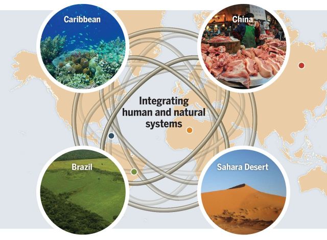
This week we started advertising a post-doctoral Research Associate position to work with James on a project looking at the global food system, local land use change and how they’re connected. The successful candidate will drive the development and application of an integrated computer simulation model that represents land use decision-making agents and food commodity trade flows as part of the Belmont Forum (NERC) funded project, ‘Food Security and Land Use: The Telecoupling Challenge’.
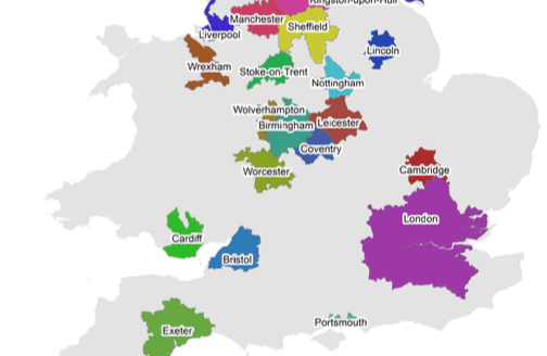
This afternoon’s seminar by CASA’s Dr. Elsa Arcaute will be of interest to a wide range of students and staff at King’s – with a background in theoretical physics and complexity, Elsa now studies how urban and regional systems scale and divide, and how these aspects are expressed in infrastructure and the built environment. To put it another way: where does London end? 4:30pm today in the Pyramid Room (K4U.04) and followed by wine and soft drinks.

Last week several members of King’s Geocomputation activity hub participated and contributed to a fieldwork mapping and monitoring party held at The Royal Geographical Society in London. Presentations and demos included crowdsourcing & OpenStreetMap, low-cost research drones and Arduino micro-controllers. This blog post summarises another presentation that explored the options for using mobile apps for fieldwork .

While working with Naru to design our new 2nd year GIS methods training course (with parallel QGIS and ArcGIS streams!), I came across a rather striking map on the ESRI blog that managed to combine both slope (steepness) and aspect (direction) in a single representation. This post explains both a problem with the way that the colour scheme was specified and how to replicate this type of map in QGIS (with style sheet).
We’re looking for someone with a passion for teaching and research that uses quantitative and computational methods to understand geographical systems. If that sounds like you, submit your application for the position of Lecturer in Spatial Analysis at King’s College London.
With the new term now well underway we have some exciting research seminars coming up soon to tell you about.
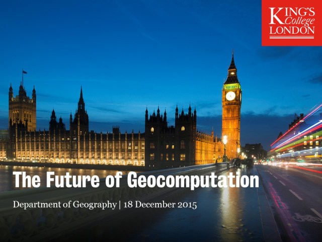
On Friday 18 December, we hosted a workshop on ‘the future of geocomputation’ involving over 30 researchers from across the UK and Ireland. We’re still working to synthesise and write up the discussions that made up the second half of the workshop, but below are the presentations that kicked off the day. Some of the tweets from the day are embedded below but from more see our storify for the day or search #fogeocomp.
